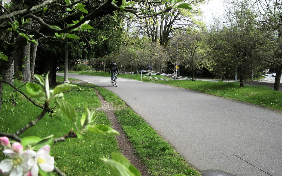
The University of Washington is renovating the 1.7-mile trail segment that runs through the campus. BRH provided boundary and topographic mapping along the trail, depicting elevations, vegetation, utilities, and surface features. Potholing for utility investigation was required, as was delineation mapping of the wetland limits.
BRH provided engineering scale topographic surveys with contours and spot heights, identified utilities and all surface improvements. Potholes were also located to support site investigations and we located wetland flags. Our surveys supported environmental investigations and the installation of new drainage and irrigation systems.
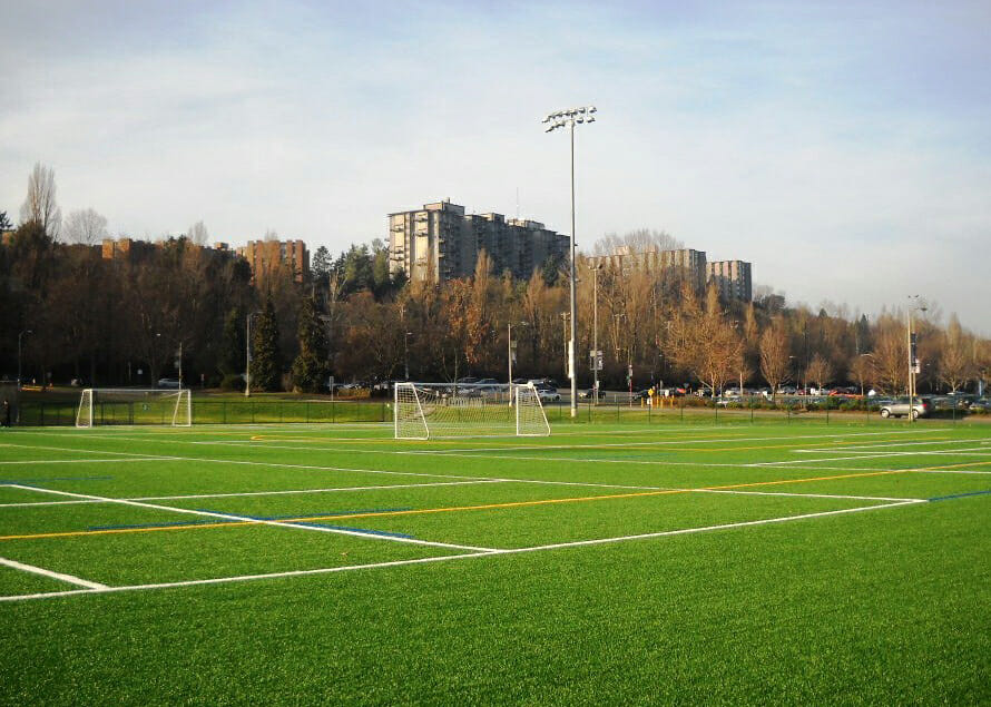
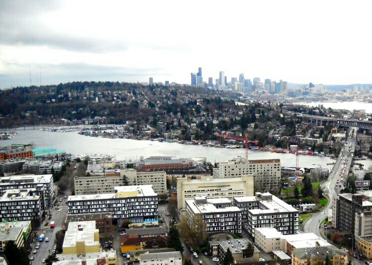
BRH has been involved in all of the recent residence developments. These include Mercer Court, Cedar Apartments, Elm Hall, Poplar Hall, Alder Hall, and Terry and Lander Halls. Typical surveys included topographic and utility surveys, right-of-way base maps, as well as as-builts of tunnel location and dimensions below several buildings.
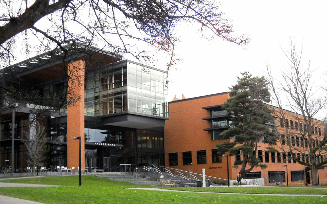
BRH provided a topographic base map showing all features such as buildings, retaining walls, adjacent roadways, paths, and underground utilities for Paccar and Dempsey Halls. Vaults were also shown, as were fiber-optic and secondary power lines, plus we provided a 3D “as-built” survey of the tunnel system.