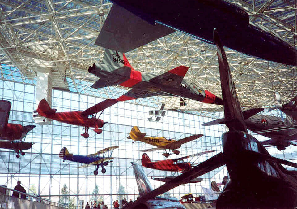
This museum is the largest private air and space museum in the world. BRH surveyed the 40-acre campus in multiple phases. Scopes on both sides of East Marginal Way included substantial underground utility detection, topography, boundary control solutions, and vertical datum resolution.
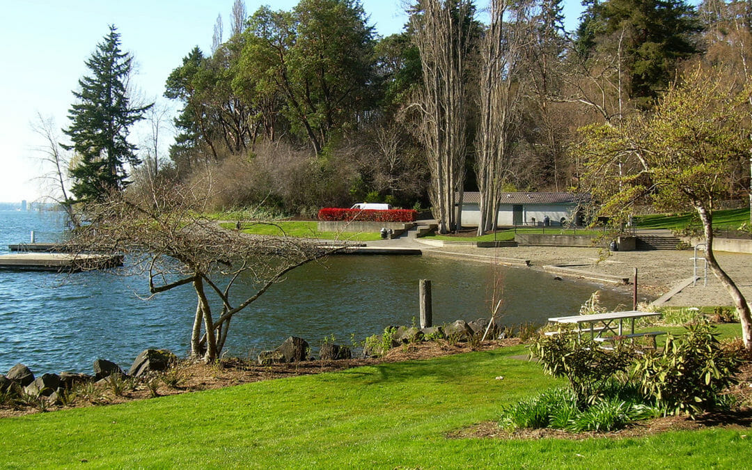
BRH provided topographic mapping, from the waterline to the uplands boundary, to support landscape improvements for the 18-acre, City of Bellevue park. Our scope included all locatable utilities, trails, the parking area, the dock, retaining walls and beach areas.
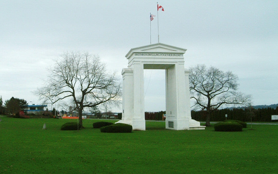
BRH provided a survey for the I-5 border crossing into Canada. This 60-acre assignment included mapping the 20 acre Peace Arch Park, administered by Washington State Parks. In addition to boundary and topographic surveys, we provided aerial control and I-5 ramp surveys.
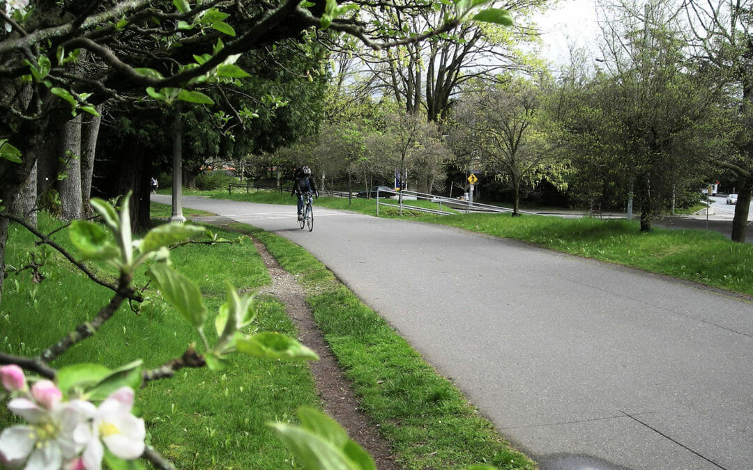
The University of Washington is renovating the 1.7-mile trail segment that runs through the campus. BRH provided boundary and topographic mapping along the trail, depicting elevations, vegetation, utilities, and surface features. Potholing for utility investigation was required, as was delineation mapping of the wetland limits.
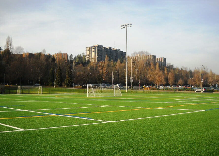
BRH provided engineering scale topographic surveys with contours and spot heights, identified utilities and all surface improvements. Potholes were also located to support site investigations and we located wetland flags. Our surveys supported environmental investigations and the installation of new drainage and irrigation systems.
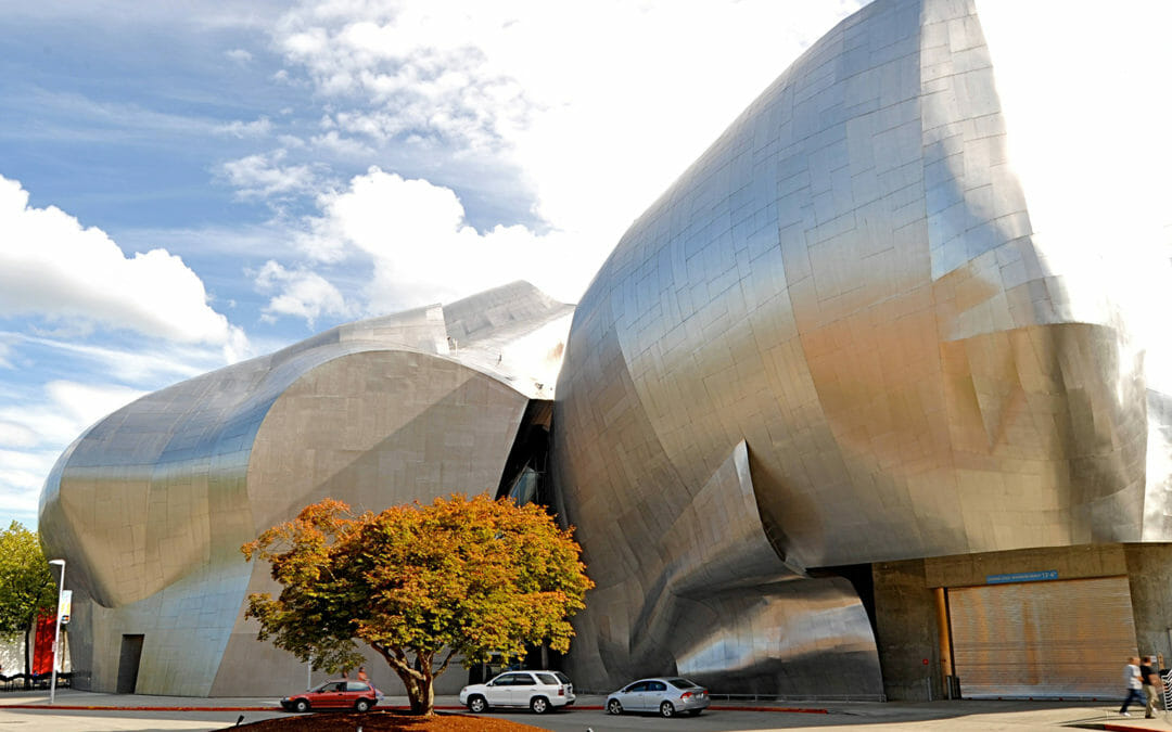
BRH provided full surveys for the 140,000 sq. ft. Museum of Pop Culture (Experience Music Project at that time) within the Seattle Center. Our scope of work included a boundary survey, legal research and descriptions, utility locations, a lot line adjustment, a complex ALTA survey, construction surveying, and monitoring. We also conducted 3D laser scanning of the monorail enclosure.