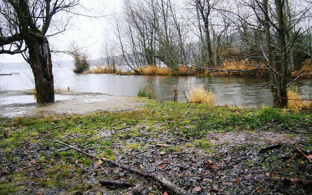
This park contains an extensive waterfront backed up by many natural features including forests, creeks and wetlands. The BRH team supported the restoration of Sunset Beach and the adjacent uplands with a 32-acre topographic survey, as well as a 40 acre hydrographic survey of the adjacent lake bed.
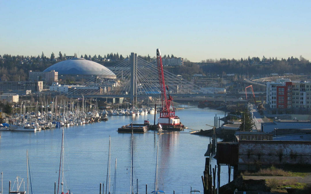
The Thea Foss and Wheeler-Osgood waterways were undergoing remediation. Our scope included a topographic and river boundary survey, monumentation, legal descriptions, a levee as-built profile map, a levee access easement, GPS for monument coordinates, and the filing of a Record of Survey.
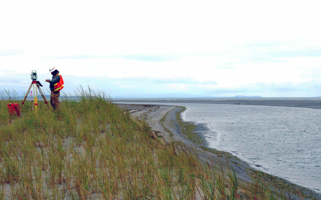
Severe winter storms have flooded tribal lands on the Shoalwater Bay Indian Reservation – resulting in silting of the 700-acre intertidal habitat in the North Cove embayment. We conducted a 350-acre topographic survey in marshy and wetland conditions along the coast, from the waterline at low tide to 100-feet upland of the berm’s landward toe.
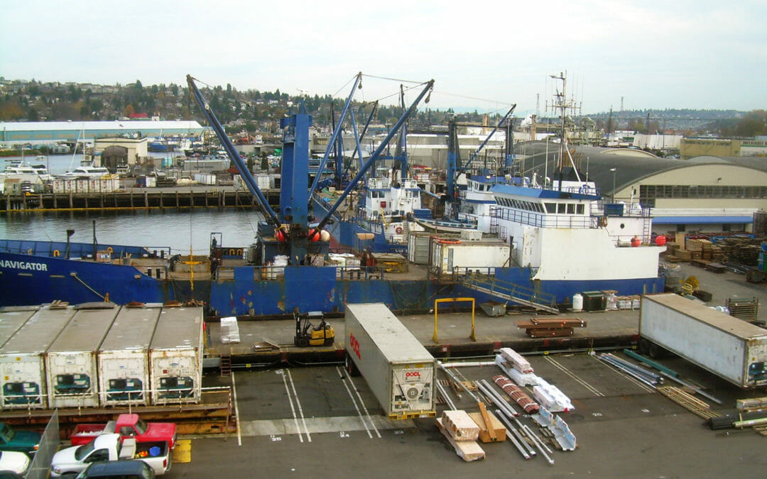
BRH has surveyed numerous sites along this waterway. Work has included recreational, industrial and commercial sites, and we have performed boundary and location surveys, topography and hydrography, Records of Survey and ALTAs.
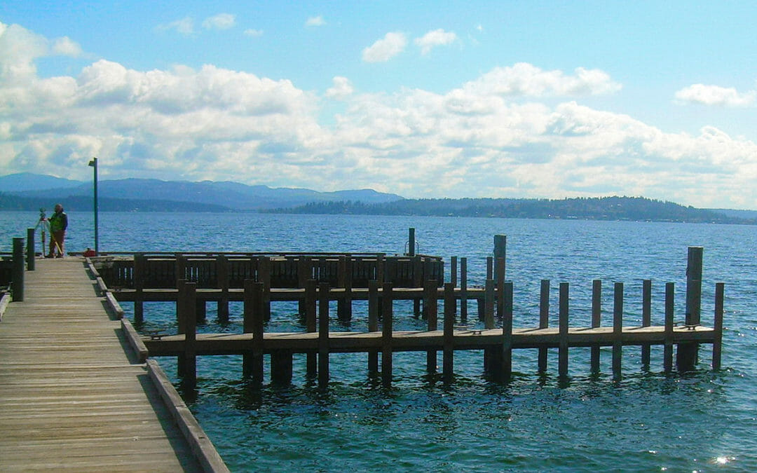
BRH has surveyed numerous waterfront sites along the lake. Properties surveyed include the Seattle Tennis Club, Port Quendall Terminal, Seattle Yacht Club, Seattle Boat Company, Newport Yacht Club, Meydenbauer Yacht Club, Chism Beach Park, Groveland Beach Park, Barbee...
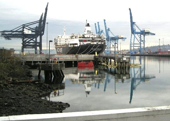
BRH served the Port of Tacoma on an on-call contract. One assignment was the Sitcum Waterway, where our team provided a base map at along the edge of the waterway, verified existing control and established new control for our hydrographic survey alongside the wharf.