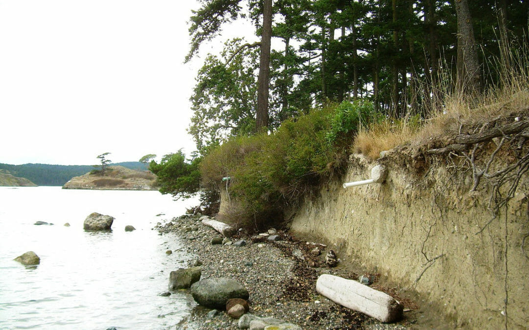
Lopez, with a 30-square mile area, is the third largest island in the San Juan archipelago and is the most rural of all the larger islands in the group. BRH was tasked to study beach erosion and provide a mitigation report for this Lopez Island site.
BRH supported the development of this 320-acre site. The scope included conducting flood and basin studies for a 6-acre detention pond draining the entire site. Drainage was designed to flow through grass-lined swales to the detention pond. This was the first...
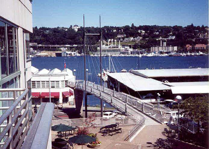
Waterfront-related aspects for this mixed-use complex, on Westlake Avenue North, included temporary mixed-use, shoring permit support, and surface and sub-surface drainage design. BRH provided full scope civil engineering and land surveying services, including on and off-site components.
This neighborhood park off I-90 provides the Mercer Island community with swimming, picnicking, a BBQ area, and a children’s playground. BRH was tasked to provide a beach survey, plus a stormwater drainage report for this popular beachfront park.
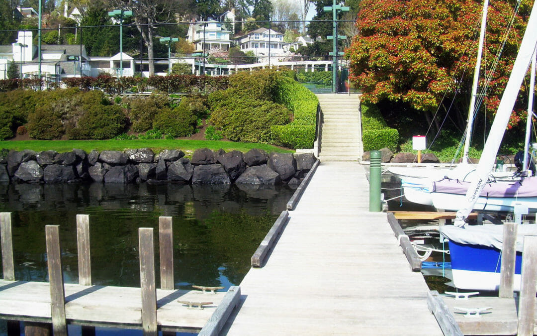
BRH has served the Seattle Tennis Club with several requests for civil engineering. One recent project assisted the design team with grading and erosion control, drainage, and the installation of a ‘green’ stormwater system for their Lake Washington waterfront site.
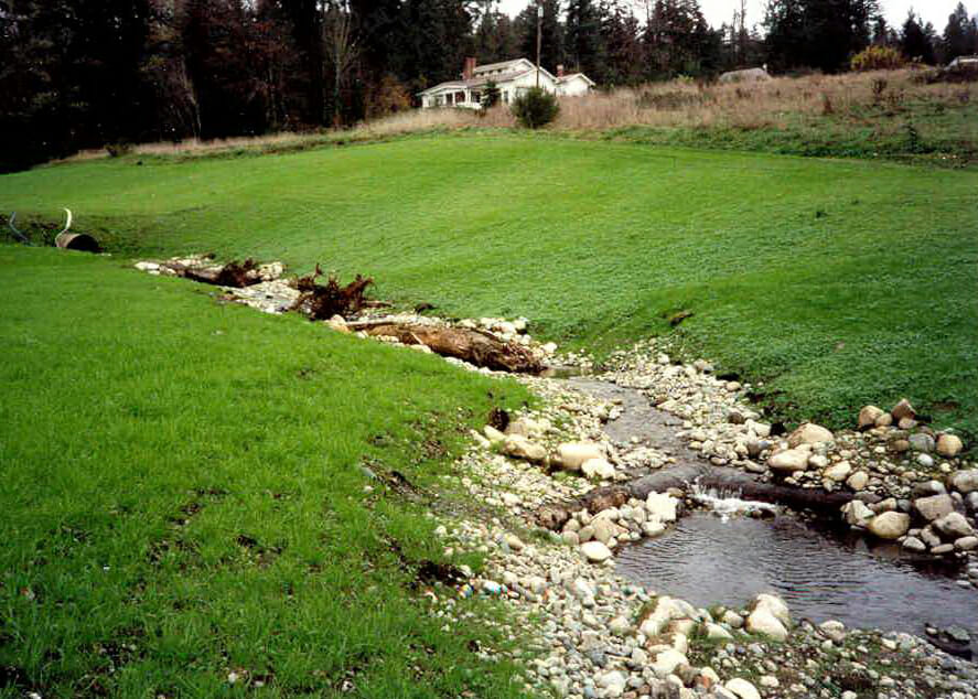
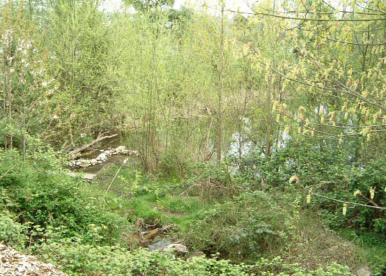
BRH has provided stream and creek analysis on multiple sites around the Puget Sound region. These typically support environmental studies, bio-swale design, and stormwater downstream studies. Often the work is followed by a request for civil design adjacent to or related to the stream.
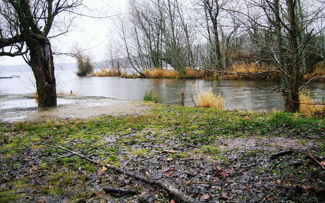
This park contains an extensive waterfront backed up by many natural features including forests, creeks and wetlands. The BRH team supported the restoration of Sunset Beach and the adjacent uplands with a 32-acre topographic survey, as well as a 40 acre hydrographic survey of the adjacent lake bed.
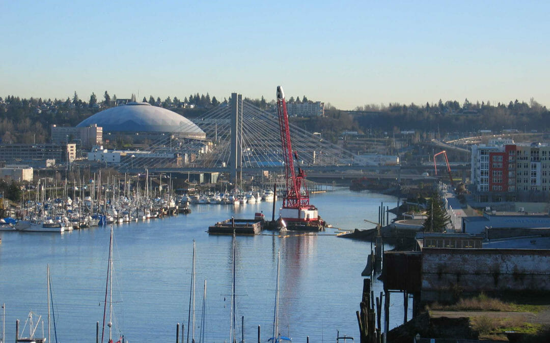
The Thea Foss and Wheeler-Osgood waterways were undergoing remediation. Our scope included a topographic and river boundary survey, monumentation, legal descriptions, a levee as-built profile map, a levee access easement, GPS for monument coordinates, and the filing of a Record of Survey.
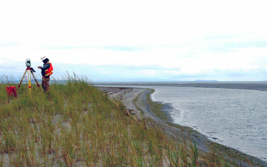
Severe winter storms have flooded tribal lands on the Shoalwater Bay Indian Reservation – resulting in silting of the 700-acre intertidal habitat in the North Cove embayment. We conducted a 350-acre topographic survey in marshy and wetland conditions along the coast, from the waterline at low tide to 100-feet upland of the berm’s landward toe.