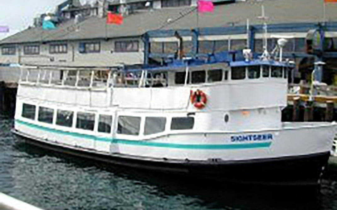
BRH provided a topographic map of the West Seattle terminal for King County Metro. Our scope included a hydrographic survey in the tidelands zone, setting boundary corners, above and below ground utilities, right-of-way elevations, and compliance with City of Seattle sensitive area ordinance.
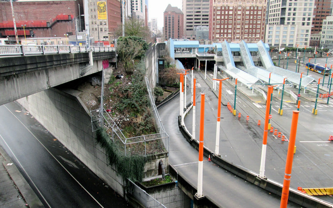
Working for two separate clients, BRH mapped the entire Convention Place Station. The tunnel as-built was 3D scanned from the tunnel entry for a full city block towards Westlake Station. We also provided an as-built of the bus operations area – which serves as a staging and turn around for Metro buses.
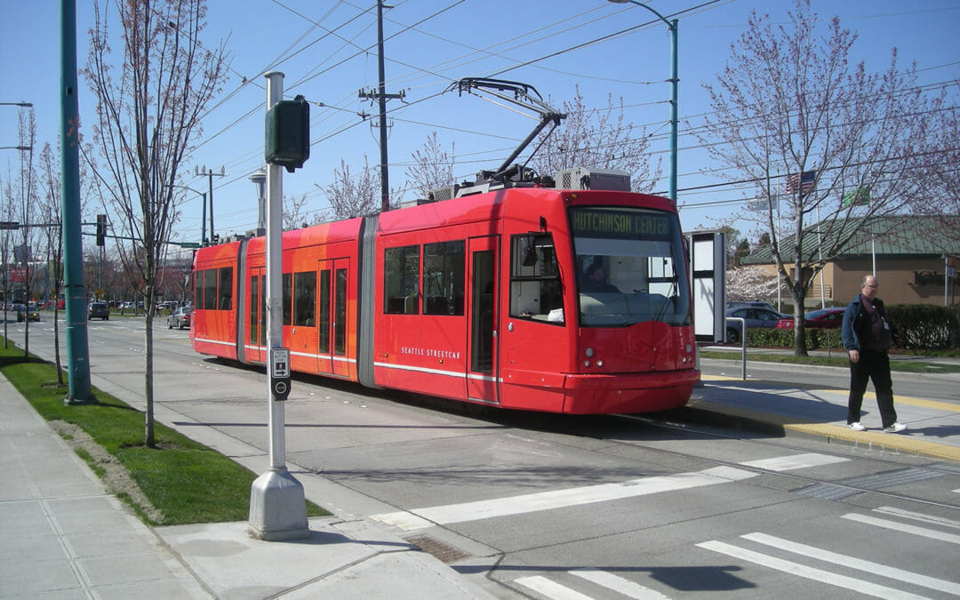
We surveyed the entire route, depicting elevations, centerlines, channelization markings, and cross-street bearings. We showed all surface improvements, the existing trolley line, overhead wire crossings, traffic signals, and landscaping. In addition, we were asked to provide survey services during construction.
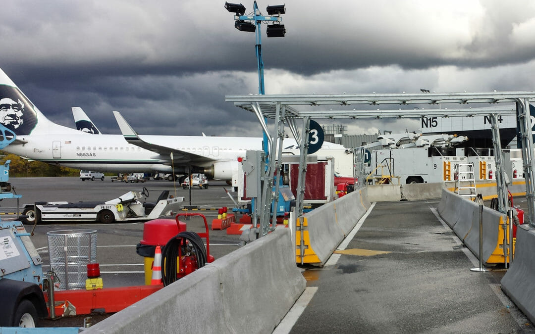
BRH has provided numerous interior and exterior surveys at the airport for the Port of Seattle, as well as for Delta, Northwest and Alaska Airlines. This project was an as-built survey of a ramp extending from the terminal gate to the Horizon Airline flight line. We also captured a Bombardier’s landing gear configuration to facilitate apron striping.
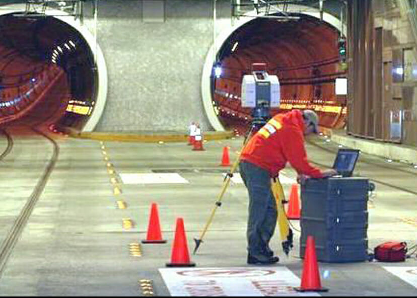
BRH was tasked to locate the Sound Transit bus and light rail tunnels relative to surface datum. This assignment required 3D laser scanning – during nighttime hours – of the interior tunnel walls to enable the design team to obtain rotatable isometric views.