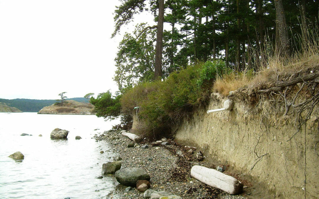
Lopez, with a 30-square mile area, is the third largest island in the San Juan archipelago and is the most rural of all the larger islands in the group. BRH was tasked to study beach erosion and provide a mitigation report for this Lopez Island site.
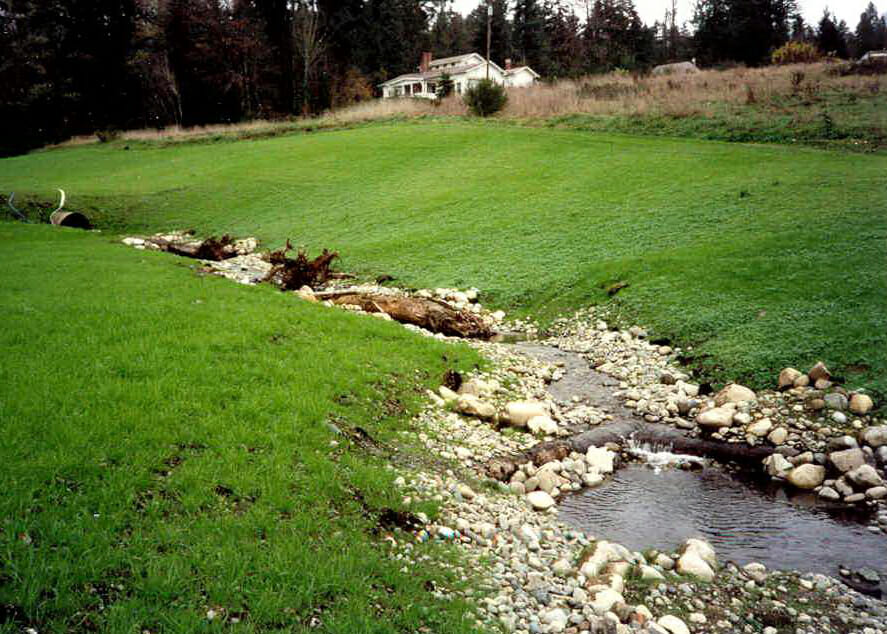
BRH supported the development of this 320-acre site. The scope included conducting flood and basin studies for a 6-acre detention pond draining the entire site. Drainage was designed to flow through grass-lined swales to the detention pond. This was the first...
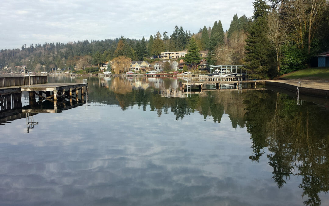
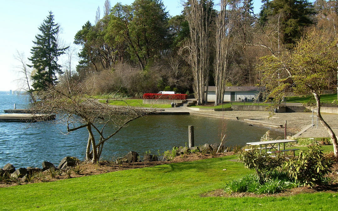
This neighborhood park off I-90 provides the Mercer Island community with swimming, picnicking, a BBQ area, and a children’s playground. BRH was tasked to provide a beach survey, plus a stormwater drainage report for this popular beachfront park.
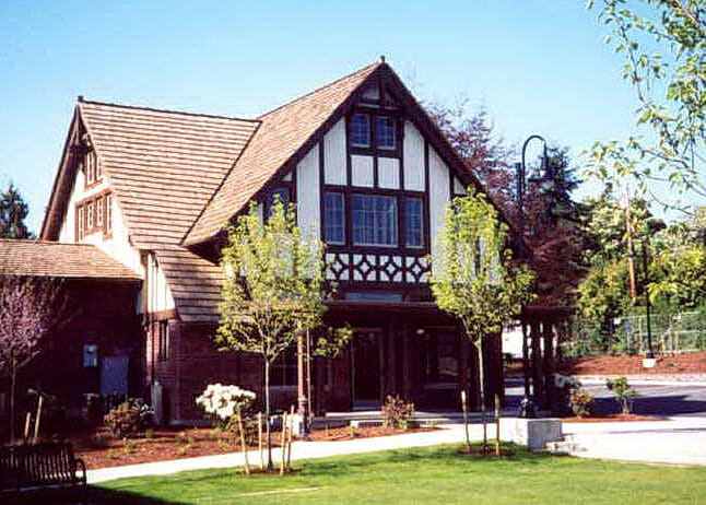
This city park recreates elements of the history of the Lynnwood. BRH designed site grading, water, storm, and sanitary sewer systems to support the relocation of historical buildings. Our scope also included the gardens, trails, picnic areas and parking. Sustainable design for stormwater included rainwater harvesting.
This 1.3-acre park fronts on a branch of Seattle’s Thornton Creek. The scope included multiple agency coordination for utility easements, parcel donation, street vacation, and street dedication. In addition, streets were re-configured at the intersection of Roosevelt Avenue NE & Pinehurst Way NE.
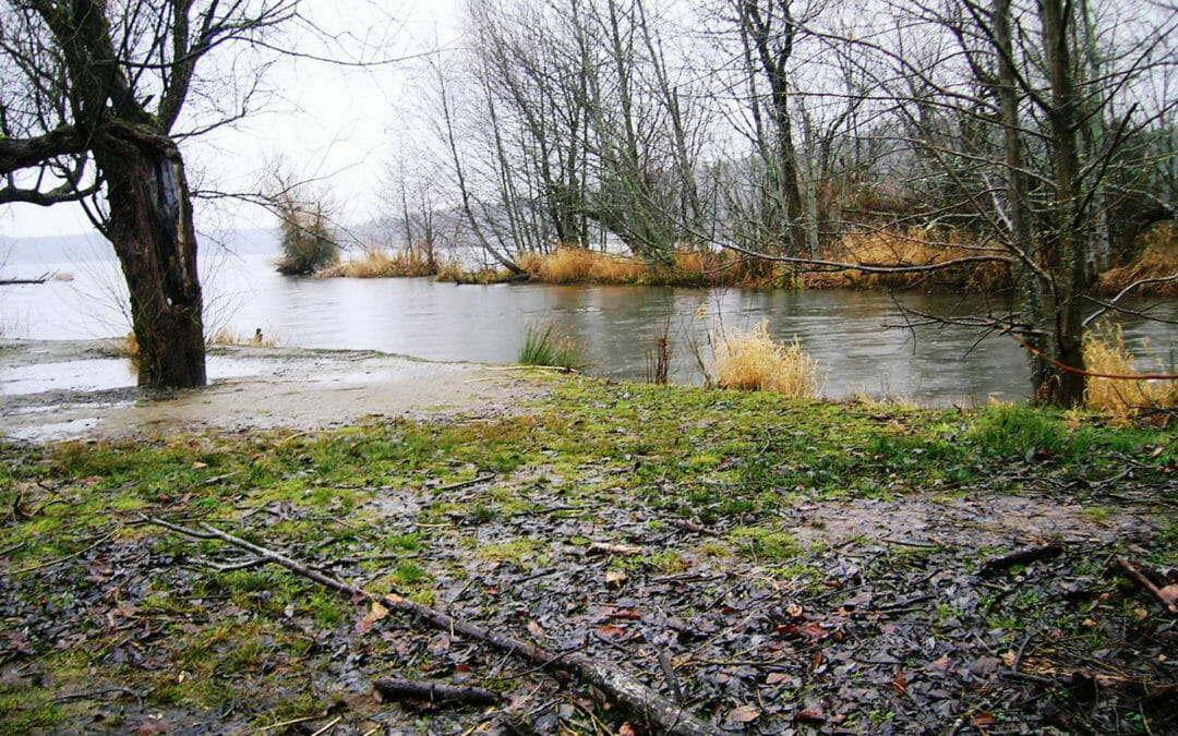
This park contains an extensive waterfront backed up by many natural features including forests, creeks and wetlands. The BRH team supported the restoration of Sunset Beach and the adjacent uplands with a 32-acre topographic survey, as well as a 40 acre hydrographic survey of the adjacent lake bed.
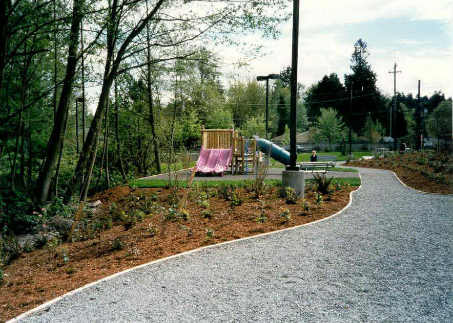
BRH provided topographic mapping, from the waterline to the uplands boundary, to support landscape improvements for the 18-acre, City of Bellevue park. Our scope included all locatable utilities, trails, the parking area, the dock, retaining walls and beach areas.
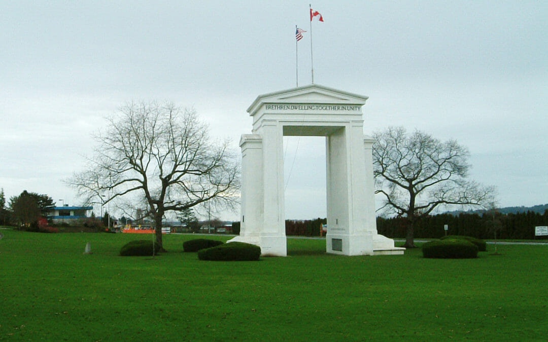
BRH provided a survey for the I-5 border crossing into Canada. This 60-acre assignment included mapping the 20 acre Peace Arch Park, administered by Washington State Parks. In addition to boundary and topographic surveys, we provided aerial control and I-5 ramp surveys.