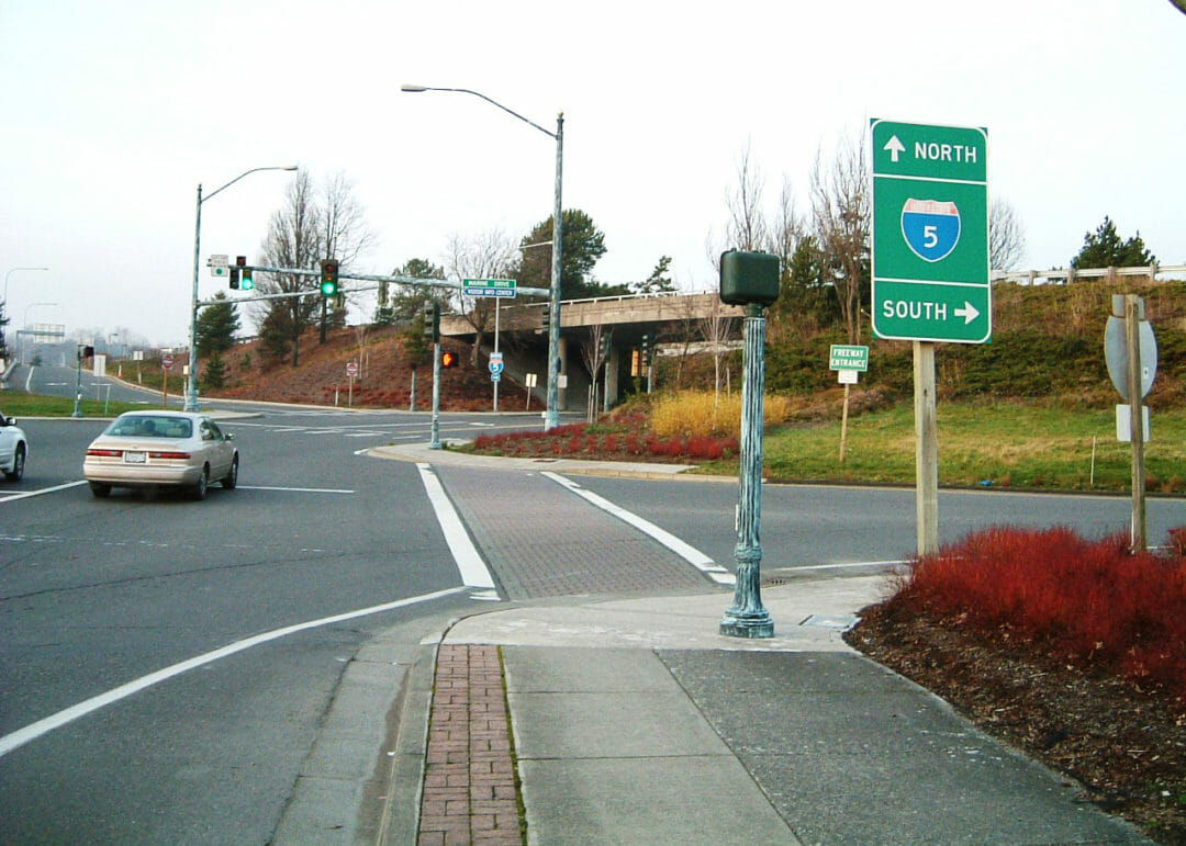
This project mapped over 60-acres of utilities along the City of Blaine streets. Below grade, we captured pipe types and sizes, as well as rim and invert elevations. All surface features were shown, such as curbs, gutters, street centerlines, driveway cuts, spot elevations, utility poles, and signs.
Blaine Streets
Land Surveying, Street and Roads
